Rare Books
Contour map of India

You might also be interested in
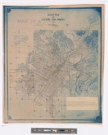
Contour map of the city of Los Angles, Cal. No. 4. / Frank H. Olmsted city engineer
Rare Books
Shows population (each dot representing 5 people), topography and rail lines of the metropolitan Los Angeles area in 1899. Covers the city of Los Angeles. The northeast most portion of the city is given in an inset. Scale determined from horizontal bar scale on map given in thousands of feet. Coordinates not presented on map, approximated from Google maps. Relief given in contours. With hand-written legend on paper label pasted onto lower right. Provenance unknown, in library as of 2017. Signed and dated: Frank H. Olmsted Apr. 23, '03. Additional paper label, removed during conservation, reads: Contour map of Los Angeles, Cal. No. 4 showing railways. Drawer 20 No. 27. Appears to have come from the office of one of Henry E. Huntington's railway companies.
646660
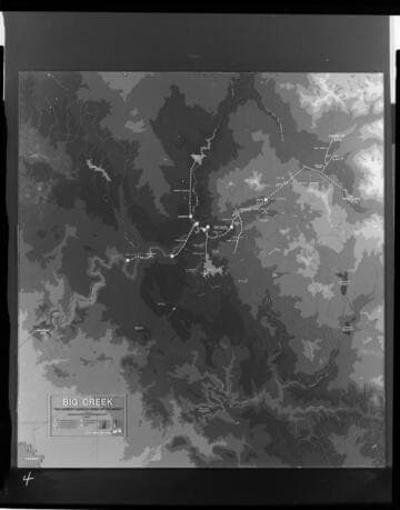
Big Creek area map with layers showing water courses topographic contours and hydro facilities
Visual Materials
[Big Creek area map with layers showing water courses topographic contours and hydro facilities. Map is mislabeled in a few areas (Lake Edison and Florence Lake are reversed, Mono/Bear diversion location is incorrect.] [with 3 variants]
photCL SCE 06 - 73015
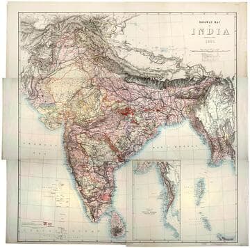
Railway map of India
Rare Books
Kirkpatrick Catalogue entry: "2493 [India. Survey of India Dept.] Railway map of India. [Calcutta, 1885]. 6 sheets. [see cabinet]." Submap: Continuation of the Province of Nritish Rurmah (Tenasserim Division) MS notes: Burton (map cabinet) India Railway . Prime meridian: GM. Relief: hachures. Graphic Scale: Miles. Projection: Polyconic. Printing Process: Lithography. Other Features: Sub-maps.
623667
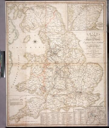
Smith's new map of the navigable canals and ri vers, of England, Wales & Scotland : distinctly shewing the length of each line, and the dates of the Acts of Parliament which have passed for executing the same ; containing also the direct roads to the principal places, with their distance from London
Rare Books
Alternate title from cover. A detailed map of the extensive network of canals and rivers crossing the UK in early 1800's. Submaps: Canals in the Environs of Birmingham; Continuation of Scotland including the Caledonian Canal. Table of principal canals with lengths. Prime meridian: GM. Relief: no. Graphic Scale: Miles. Projection: Polyconic. Printing Process: Engraving.
446560
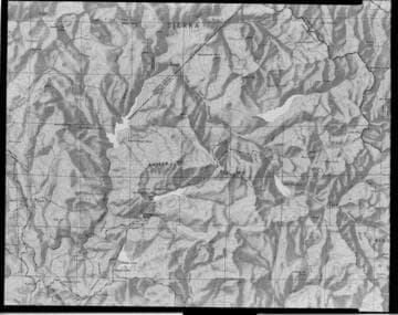
Relief map of Big Creek area
Visual Materials
[Relief map of Big Creek area - Contours, tributaries, and hydroelectric facilities shown.]
photCL SCE 06 - 73017
Image not available
Location of Wells & Ground Water Levels San Gabriel Valley Los Angeles County
Rare Books
This map locates existing wells and shows surface contours in blue, water level contours in red. To the left side is a discussion of the history of water levels dating back to 1904. Graphically shows the Raymond Hill and Monk Hill Dikes which affect water levels dramatically. Water level discussion and well location table. Prime meridian: San Bernardino. Relief: contours. Graphic Scale: Miles. Projection: Plane. Printing Process: Lithography.
130366